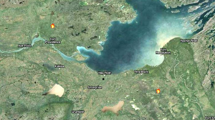
Two active wildfires have appeared on the government-provided live map of fires in the Northwest Territories.
The fires are depicted around 100 km north of Fort Providence and some 200 km east of Hay River. They look to be the first of the season, alongside a small, extinguished blaze near Hay River earlier in the week.
There is no independent confirmation of those fires and, as yet, no further detail.
See the map: NWT Fire live map
On Thursday, the territory’s Department of Environment and Natural Resources warned of “critically dry” forest conditions, particularly in southern regions of the NWT.
Residents are able to use the live fire map to follow the progress of wildfires during the forest fire season.
As of Friday evening, the map lists seven zones of “extreme fire danger”. Those include the town of Hay River, a section of highway between Behchoko and Fort Providence, and the Bliss Lake area, approximately 85 km north-east of Yellowknife.


